MATOC Resources
To receive alerts and notifications from MATOC, follow us on Twitter. We also encourage you to visit our individual partner websites and the 511 systems to get traffic information for a particular area:
Maryland’s 511 traveler information website, or call 511 while in Maryland
Virginia’s 511 traveler information website, or call 511 while in Virginia
Traffic Resources

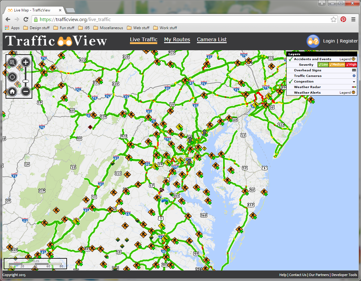
TrafficView is an interactive map created by MATOC to consolidate information from transportation agencies in the District of Columbia, Maryland, and Virginia. Using TrafficView, drivers may plan travel routes; watch live camera feeds; and view accident, signage, congestion, and weather data.
Current Travel Conditions
Other Regional Transportation Sources
Major Construction Projects
Public Information
- Virginia Express Lanes
- Loudoun County (VA) Traffic Incident Activity Map
- National Weather Service Baltimore/Washington Complete Weather Briefing Page
- Montgomery County (MD) Storm Map
- Prince Georges County (MD) TRIP Center Dashboard
- VDOT Snow Plow Map for Northern Virginia
- WMATA Metrorail Live Train Map
- WMATA MetroPulse (Rail)
Public Transportation - Maryland
- Frederick County TransIT (Frederick County)
- Maryland Transit Administration Advisories
- Maryland Transit Administration—MARC Train Tracker Map
- Maryland Transportation Resource Information Point (MDTrip)
- Regional Transportation Agency of Central Maryland
- Ride On (Montgomery County)
- TheBus (Prince George’s County)


